- +232 72 518877
- info@lwbs-sl.com
"Pioneering Sierra Leone's Digital Transformation"
Leh We Build Salone is an engineering and surveyor institution dedicated to driving digital innovation in Sierra Leone. Our team specializes in geospatial and geodetic surveys, land management, aerial mapping, and building life-cycle assessments. With our cutting-edge technology and commitment to precision, we provide accurate data and insights that empower government bodies, businesses, and communities to make informed decisions and build a sustainable future.
Learn More"Comprehensive Surveying and Engineering Services"
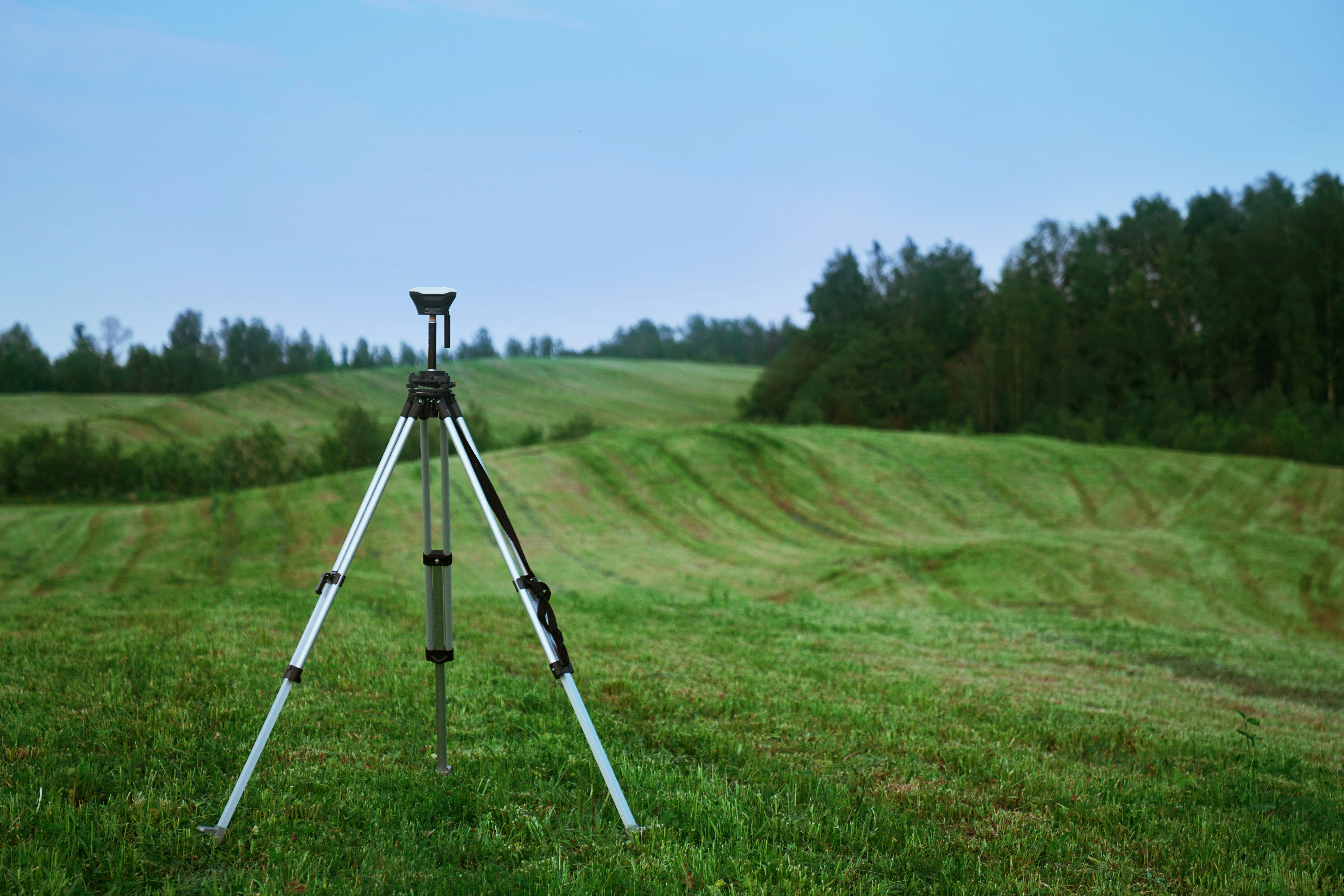
From land planning to infrastructure development, we deliver high-precision geospatial data using advanced surveying techniques.
We help manage land assets and implement digital strategies that streamline land registration, usage, and policy-making.
Our assessments ensure that projects are sustainable, cost-efficient, and compliant with regulations from inception to demolition.
Leveraging drones and aerial technology, we capture extensive land data quickly, accurately, and efficiently.
Successfully completed a geospatial survey for a major urban planning project in Freetown, ensuring accurate land use data for sustainable city development.
Our aerial survey solutions helped the government assess agricultural land for new development initiatives across rural areas, supporting food security programs.
Partnered with local construction firms to provide comprehensive building life-cycle assessments, ensuring green building certifications and compliance with international standards.

If you are going to use a passage of Lorem Ipsum, you need to be sure there isn't anything embarrassing hidden in the middle of text. All Lorem Ipsum gators on the Internet tend to repeat
If you are going to use a passage of Lorem Ipsum, you need to be sure there isn't anything embarrassing hidden in the middle of text. All Lorem Ipsum gators on the Internet tend to repeat

If you are going to use a passage of Lorem Ipsum, you need to be sure there isn't anything embarrassing hidden in the middle of text. All Lorem Ipsum gators on the Internet tend to repeat